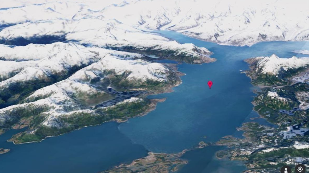
Google Earth Timelapse is a fast-motion video of the entire planet , in which it is possible to zoom in and out, to appreciate the dynamic changes that have occurred on the Earth ‘s surface. From the desert areas of Egypt that have been transformed into irrigated lands to the changes in the meandering courses of the rivers in the Amazon jungle of Pucallpa (Peru), not forgetting the volcanic eruptions, the felling of trees and the forest fires that have altered the landscape of the Lassen National Forest in California. The sequences also record the adaptation process of cities to climate change, with transformations such as the Middelgrunden offshore wind farms in Denmark or, without having to go that far, the installation of large-scale solar panels in the province of Granada.
Google also lists a library of 800+ timelapse videos from 300+ locations at g.co/TimelapseVideos . They are available to better understand how our planet is changing, and are of special interest to researchers and educators. In fact, these images are being used to show the effects of the changes on the planet. An example is the 2022 documentary The Territory, which uses time-lapse sequences to highlight the progress of deforestation in the Amazon and its effects on local communities.
The accelerated sequences of Google Earth are possible thanks to a series of institutions that contribute open and accessible data; specifically, NASA , the Landsat program of the United States Geological Survey (the dean among civil Earth observation programs) and the European Union’s Copernicus program , which provides images taken by the Sentinel satellites.


